Improvements to the area around the expanding St Mark’s CE School for walking and cycling continue
Plans to create an Active Travel Zone around St Mark’s CE School, to make the area safer for everyone walking and cycling, continue with new works starting on Shirley Road from 4 October 2021
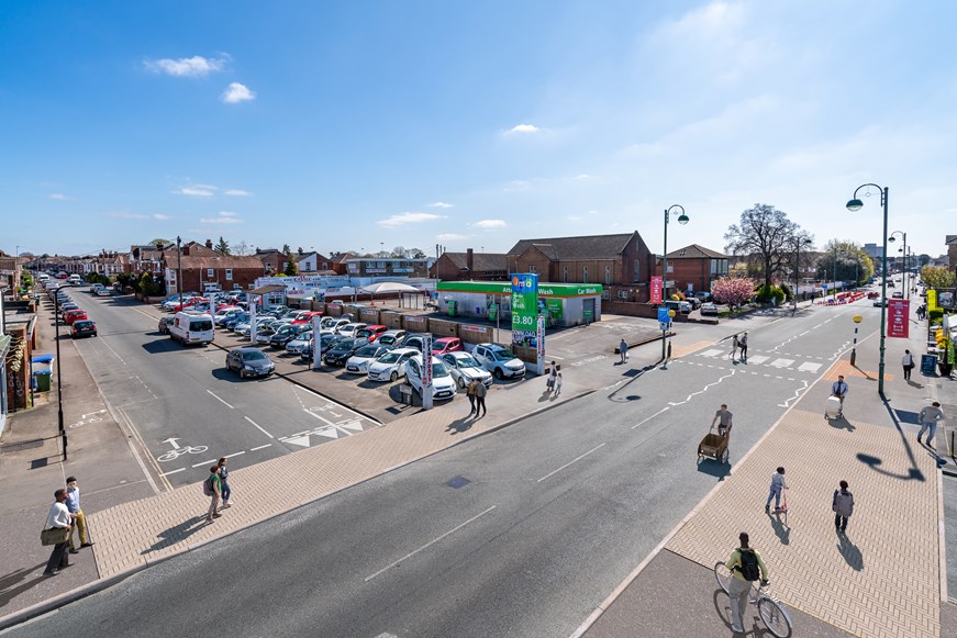
In order to provide safer walking and cycling facilities and better connections to St Mark’s CE School, new continuous crossings will be added at the junctions of Shirley Road with Cawte Road and Dyer Road, as well as a toucan crossing linking to Western District Cut and a parallel crossing near Dyer Road. The continuous crossings will be supported by widened footways, which will also enable a new shared-use path to be designated. A continuous crossing will be added at the Malmesbury Road junction with Charlton Road soon after and a continuous crossing at the junction with Malmesbury Road and Shirley Road will be delivered in Summer 2022.
Works are already underway in the Howard Road area, aiming to improve the walking route between residential areas to the north and south of Howard Road with a zebra crossing supported by new continuous crossing facilities at the Stafford Road and Suffolk Avenue junctions, as well as new areas of planting. A timed road closure on the northern section of Stafford Road (that only allows access for residents’ vehicles) is now in place and will support a future School Street for the expanded school.
The St Marks Active Travel Zone (ATZ) scheme, funded both from our award of £1.225m from the Government’s Active Travel Fund and developer contributions secured through the planning process, constitutes a range of measures designed to make it safer and easier to walk and cycle in the local area. This is especially needed on the key routes used by children and their families of the expanding school for their journeys to and from St Mark’s. The design for the St Mark’s ATZ was developed in consultation with the local community and will help address their concerns about rat running and traffic speed in the area. As more people feel comfortable walking and cycling, and therefore fewer car-based trips are made, both residents and the school community will feel the positive effect.
There are details of each of the phases of works in the St Mark’s ATZ area on our website
The Travel Southampton section of the My Journey website provides information to help car users rethink their journeys into and around the city, especially when there are roadworks or big events which may affect trips. Visitors to the site can check for roadworks using the interactive map and explore how they might travel in a different way.