Strategies, Plans and Studies

Local Flood Risk Management Strategy
A summary of all sources of flooding, responsibilities of risk management authorities and proposals of how the council and partners can improve the management of local flood risk (to understand the propose of the LFRMS please see the Flood and Water Management Act 2010).
North Solent Shoreline Management Plan
High-level, non-statutory policy document setting out a framework for future management of the coastline and coastal defences.
River Itchen to Hamble Coastal Study
A coastal erosion and flood risk study along the River Itchen, Weston Shore, Netley and Hamble.
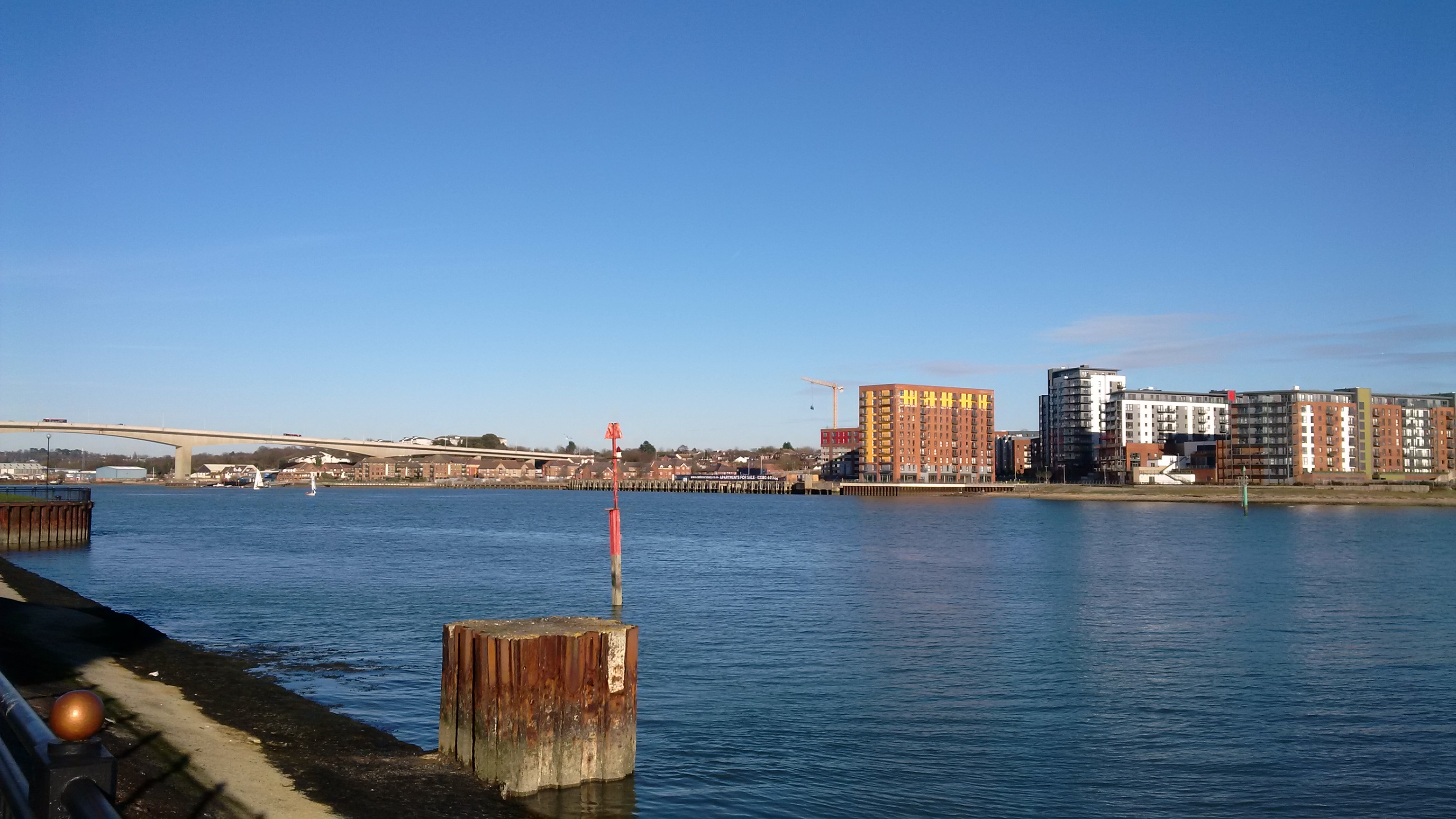
Southampton Coastal Management Strategy
Non-statutory document focusing on long term management of the west bank of the River Itchen from Woodmill to Redbridge.
Advice for developers
Any future development in areas where flood risk exists (including surface water flood risk) must be designed to withstand the possibility of flooding over the proposed lifetime of the development, with allowances for climate change. More detailed information and requirements that you must follow as a developer can be found in the following documents:
Level 2 Strategic Flood Risk Assessment
The Level 2 Assessment and accompanying mapping provides the information necessary to apply the Exception Test. View Appendix A: Mapping to Accompany the Level 2 SFRA.
Preliminary Flood Risk Assessment
A high-level screening exercise to identify areas where there is a significant risk of flooding, using both historic and modelled future flood data.
Sustainable Urban Drainage Systems (SuDS)
Since April 2015, all major developments have to incorporate sustainable drainage to manage surface water runoff, unless it is demonstrated to be inappropriate.
Please use the following links for the government’s planning policies for England and how these are expected to be applied.


